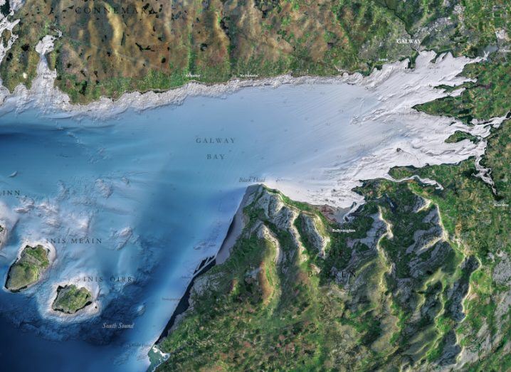
Section of Blue Scale Map of Galway Bay. Image: INFOMAR
Ireland’s coastal seabed has been mapped in comprehensive detail, providing important data for marine activities and scientific research.
A complex, 20-year project to map Ireland’s coastal seabed has entered its final phase.
Since 2006, the Integrated Mapping for the Sustainable Development of Ireland’s Marine Resource (INFOMAR) project, which is a joint venture between the Geological Survey of Ireland and the Marine Institute, has used the latest technologies to create detailed maps of the physical, chemical and biological features of Ireland’s coastal seabed – all 3,171km of it.
Today (15 August), the project has launched the Blue Scale Map Series to showcase the results of the long-running survey. Each week for the next 18 weeks, a high-resolution topographical map of a section of coastline will be released.
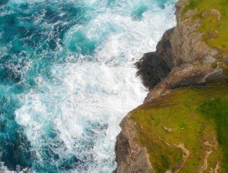
To start the series, a map of Galway Bay has been released and is free to download. The coastal parts of Galway Bay have been designated a special area of conservation because of their diverse range of important habitats. These include intertidal mud and sandflats, coastal lagoons, saltmarshes, turloughs, vegetated cliffs, calcareous grassland and limestone pavements. The area is home to seals and otters and many bird species, including seabirds, waders and waterfowl.
Prior to this survey, Ireland’s seabed maps were based on 200-year-old methods. An initial project to map the deeper waters off the country’s coast led to this current coastal project, which has been described as “one of the world’s largest and leading seabed mapping programmes”.
Phase one of the project was completed in 2015 and included the mapping of 26 priority bays and 3 priority marine areas. Phase two of the project is “particularly challenging” as it involves the mapping of more remote and inaccessible areas of coastline. This phase of the project concludes in 2026.
The team has described the mapping work as “multifaceted”. While the main aim was to gather bathymetric data (measure the water depth), geophysical data and sampling was also collected.
A highly skilled team of hydrographers, data processors and cartographers undertook the labour-intensive work of processing and analysing the vast quantities of collected data.
This dataset establishes a baseline bathymetry to underpin the management of Ireland’s marine resources. The data will be available for scientific and industrial applications and for public use.
To see the list of maps to be released, visit the INFOMAR website.
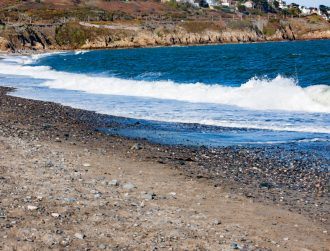
Ireland’s coastal waters have suffered an extreme heatwave this summer which could have major impacts on this important ecosystem.
10 things you need to know direct to your inbox every weekday. Sign up for the Daily Brief, Silicon Republic’s digest of essential sci-tech news.